The Kornati National Park…
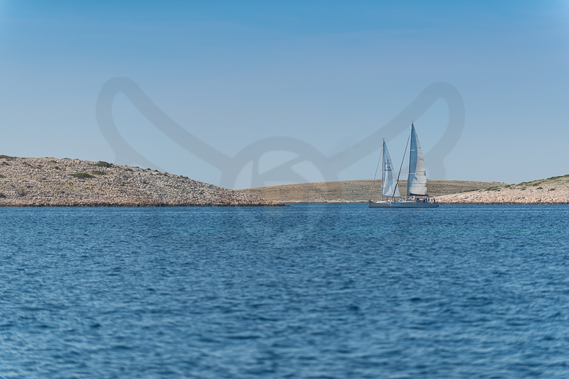
is often mentioned as “nautical paradise” in tourist publications. And really, in “slalom” sailing through the 89 unforgettable islands, islets and reefs in the Kornati National Park, you will test all of your nautical skills, particularly if the weather puts in some effort… You’ll need a valid ticket to sail through the National Park.
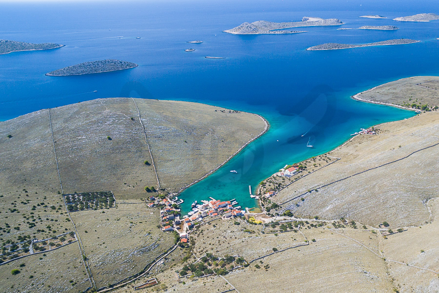
In 1980, the eighty-nine southernmost of the 140-odd islands, islets and reefs of the Kornati archipelago were declared a national park, Nacionalni Park Kornati, protecting the islands and their marine surroundings.The area covered by the National Park mostly coincides with the Donji Kornati, which includes the island of Kornat and the surrounding islets, separated with a channel from the island of Piškera and the surrounding islets.
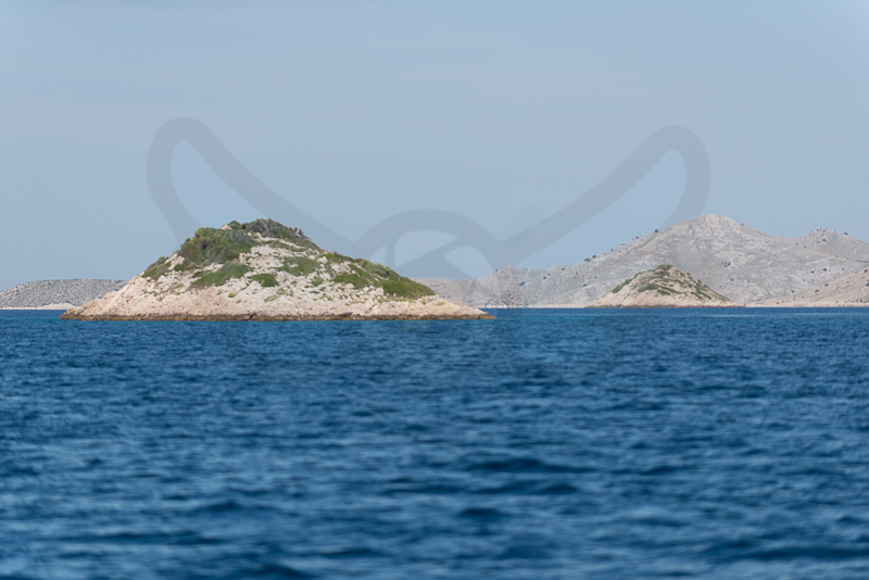
The national park includes 109 islands, of which 76 are less than 1 hectare in size. Of the total land surface area of Kornati (62 km2), 85% is stony, and only 5% has been cultivated.
The most important places on the Kornati islands are: the shallow channel Mala Proversa, the oval-shaped Taljurič island, Špinuta Bay, Stivina Bay, the fourth largest island Levrnaka, the second largest karst rock-area Tarac, Svršata Vela island, Mana island, Piškera island, Panitula Vela island, the picturesque Lavsa Bay, the resort island Ravni Žakan, Smokvica Vela island, the Opat peninsula, Samograd island, the Purara reserve for marine life, Vrgada and Gangarol islands.
The names of the islands Babina Guzica and Kurba Vela, which in Croatian refer to buttocks and prostitution, offer an opportunity to explain the many vulgar names officially given to many places in the Kornati archipelago. When Austrian surveyors came to record the archipelago at the end of the 19th century, their local guides mocked them by making up vulgar names for the various locations.

Kornat, the biggest of the islands with a total area of 32.44 square kilometres (12.53 sq mi), comprises two-thirds of the park’s land area. Although the island is 25.2 kilometres (15.7 mi) long, it is no wider than 2.5 km (2 mi).[4] The park is managed from the town of Murter, on the island of Murter, and is connected to the mainland by a drawbridge.
The Kornati (pronounced [kɔ̝rnǎːti]) archipelago of Croatia, also known as the Stomorski islands, is located in the northern part of Dalmatia, south from Zadar and west from Šibenik, in the Šibenik-Knin county. With 35 kilometres (22 miles) length and 140 islands, some large, some small, in a sea area of about 320 square kilometres (124 sq mi), the Kornati are the densest archipelago in the Mediterranean Sea.[1] From northwest to southeast (from the island of Balabra to Samograd), and from northeast to southwest (from Gangarol to Mana) they stretch for 13 km (8 miles). The name of the archipelago is the plural form of the name of the largest island, called Kornat.
Climate
The average monthly temperature for January is 7.3 °C (45.1 °F), in July it is 23.9 °C (75.0 °F); the average sea temperature in winter is 14 to 15 °C (57 to 59 °F) and in summer 22.8 °C (73.0 °F).